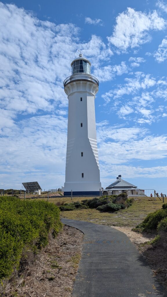
Green cape Lighthouse is located in Beowa National Park in NSW, Approx 560km east of Melbourne or 605km south of Sydney.
I have been fascinated by this lighthouse and has already planned to go few years ago. Partly because the 21km of dirt road driving. I did not have experience in this driving conditon and therefore I really want to try.
Also it is a beautiful white lighthouse. and located in a remote area. If you look at the map. the lighthouse is at the tip of Green Cape. A location which I found really fascinating, really want to have a look.
We were planning to go there few years ago but was cancelled due to COVID pandemic. This time I got a window of 6 days off during the school holiday, combination of good weather and available accommodation in a nearby town. Yeah! Let’s go. 😎
First Destination: Eden NSW
A 560km trip
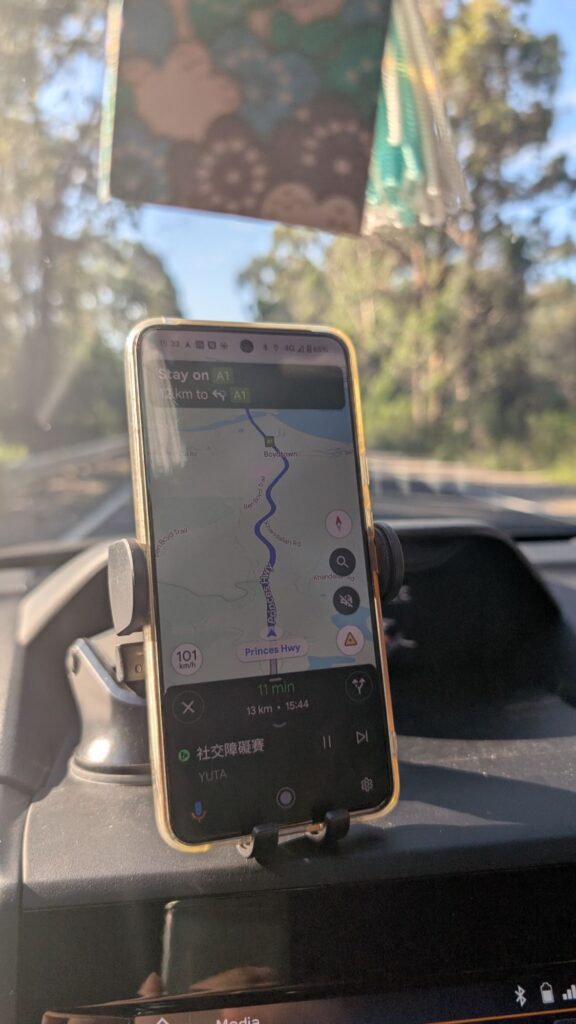
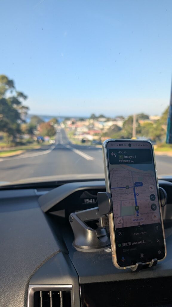
We spent approx. 8.5 hours, including rest and stop, from Melbourne to Eden via A1 Princes Hwy.
We left home at around 7:30am and drove east along the Princes Fwy. We had a brief stop in Moe and then continue the journey to Barinsdale, a large regional town where approximately 280km from Melbourne.


After lunch, we then continued another 275km drive along the A1 Princes Hwy, heading to our destination Eden, New South Wales.
This section of Princes Hwy was boring but challenging. Single carriageway with speed limit 100km/h. Not much scenary but winding road surrounded by trees, trees and trees. Need high concentration on road condition as there are a lot of corners, up and down hill. Some section are quite narrow, barely enough for one car in one direction.

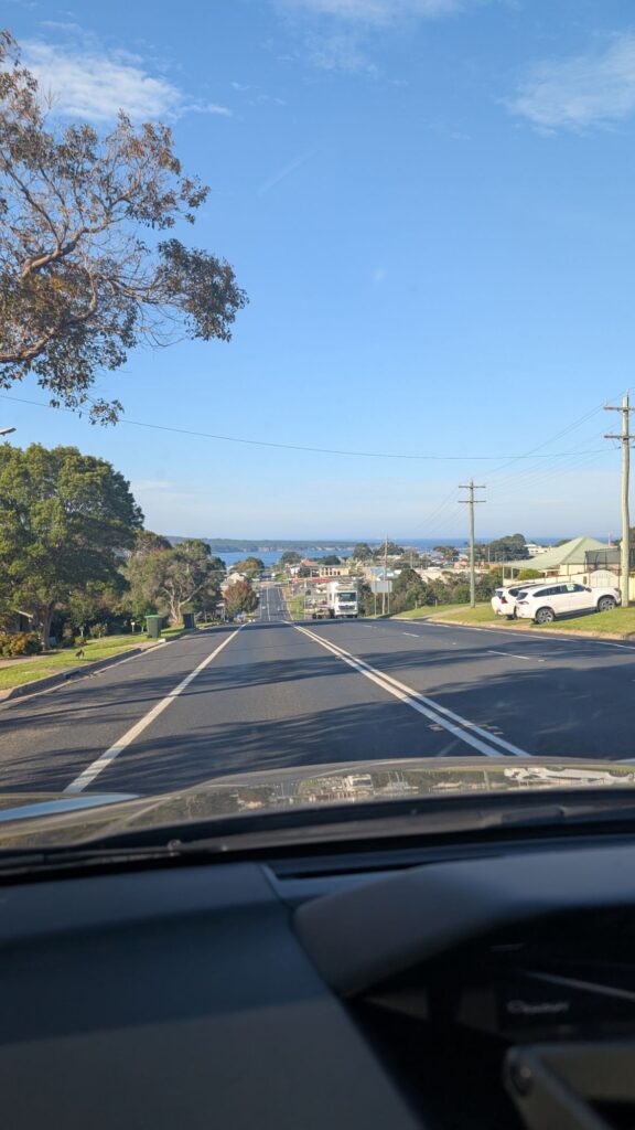
Finally, we arrived at Eden
Eden, NSW
Eden is a small town in the south-east coast of Australia, 478 km south of Sydney. Eden has population of approximately 3100. Little small and quiet coastal town. This town is probably popular as a rest stop for travellers driving along the east coast.
A natural paradise on the sparkling Sapphire Coast of NSW.
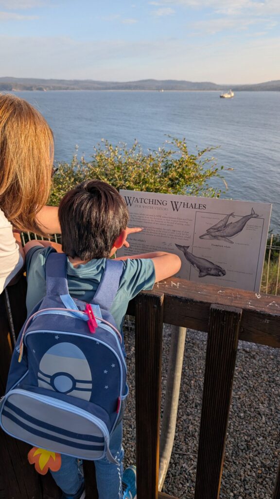
Eden’s extraordinary attractions range from spotting humpback whales in the deep blue waters of Twofold Bay to learning about the region’s whaling heritage.
Bushwalking in Beowa National Park (formerly Ben Boyd National Park) and getting up close to marine life on a guided tour. 1
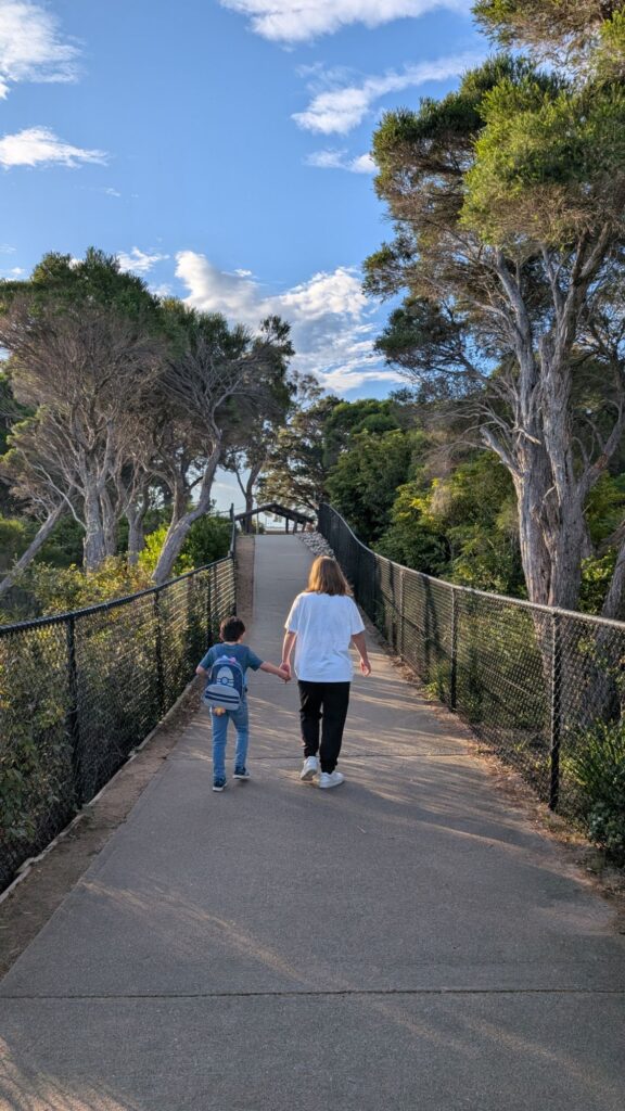


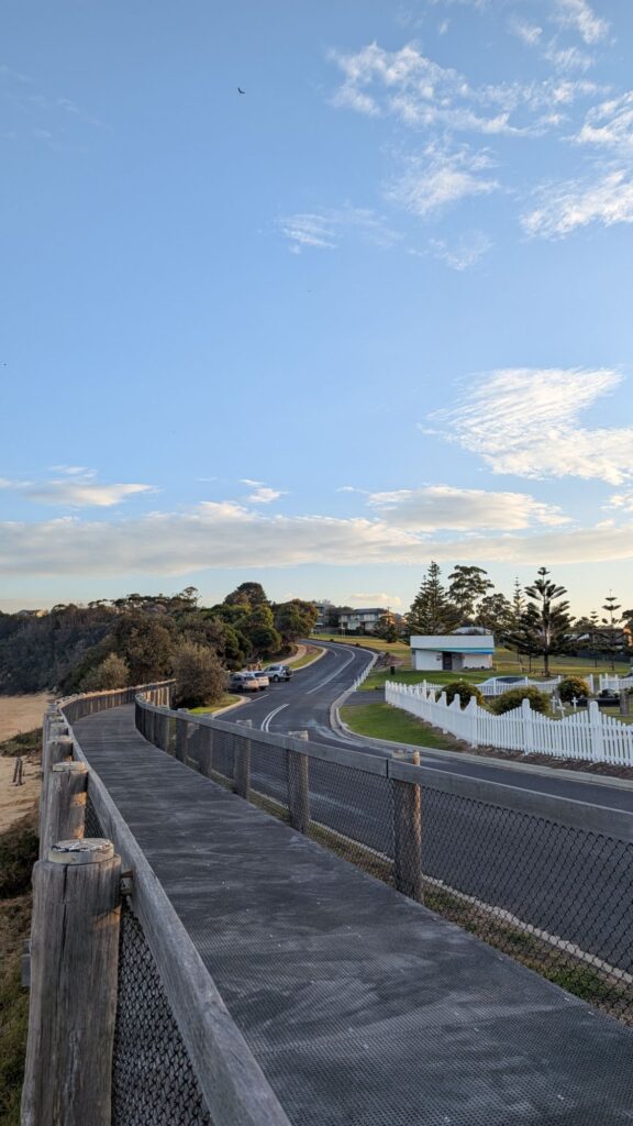


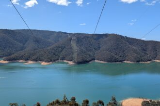
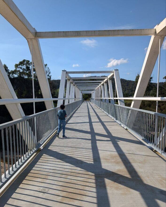
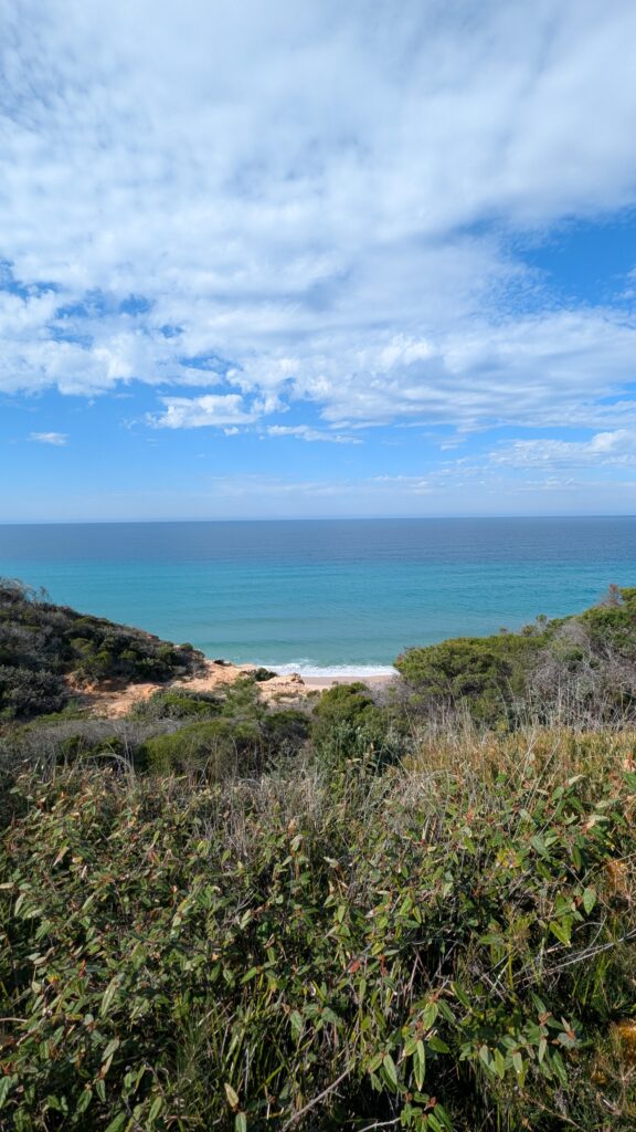
Allan Gibson boardwalk
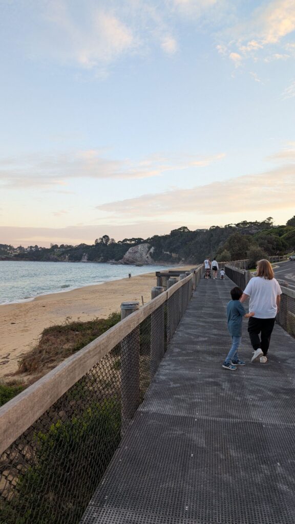
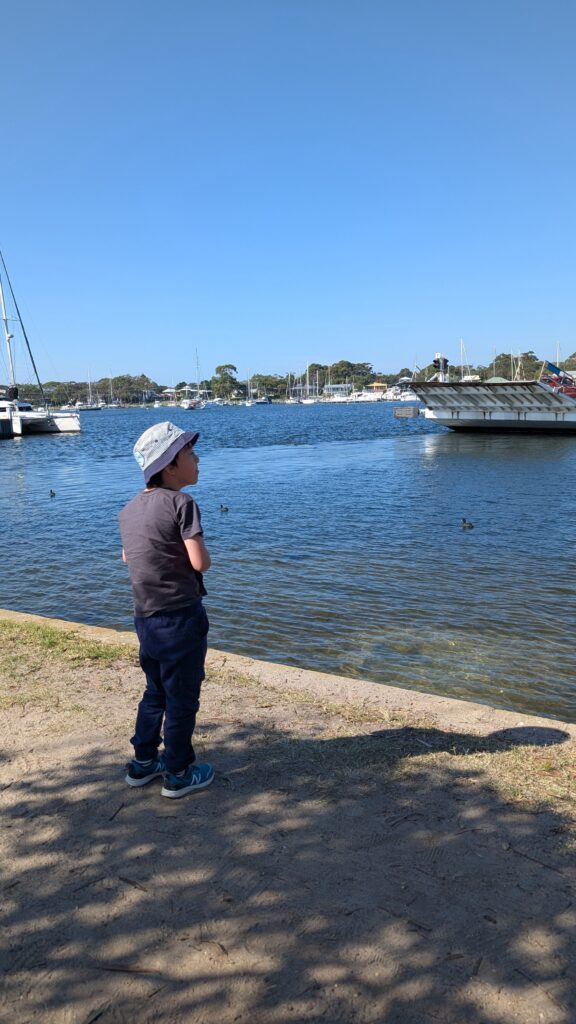
Lazing Around
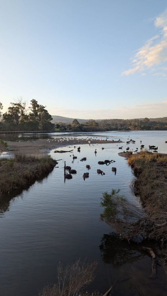
This corner of the lake provides protection from winds and access to mud flats and small inlets. The lake is connected to the ocean so many of the waterbirds seen here are found at sea or on mudflats. They are mostly resting here and a resting spot for ocean and non-oceanic species. There is always something to discover.
ROYAL SPOONBILL
These tall white birds have a long spoon-shaped bill used for sweeping through the water. They are often seen feeding in small groups.
AUSTRALASIAN DARTER
The darter has a long neck and narrow body for diving and catching fish. They must dry their wings between dives.
LITTLE PIED CORMORANT
This common diving bird feeds on small fish and invertebrates. They have to dry their wings after swimming, and are often seen sitting on posts and logs.
WHITE-FACED HERON
Tall grey long-necked wading birds with a white face. They walk slowly to stalk fish or frogs. Often seen alone, they prefer shallow water and are more active in warmer months.
SILVER GULL
After a period of fishing in open ocean, Silver Gulls can be observed resting in flocks. These birds are highly social and opportunistic scavengers. They might stay for hours.
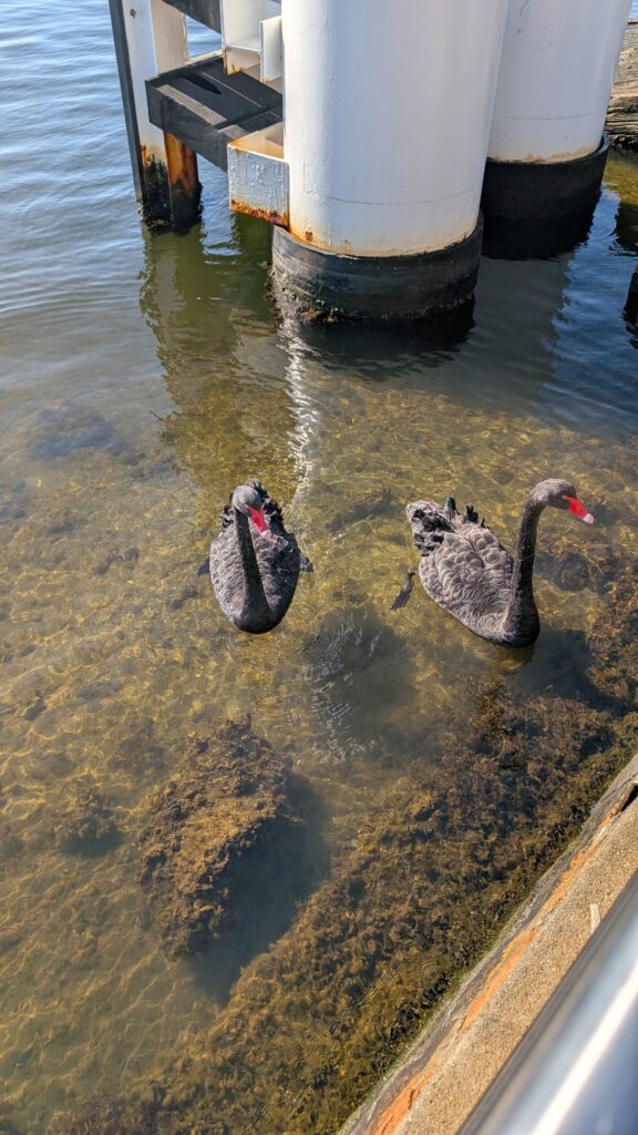
PACIFIC BLACK DUCK (WUMBAARA)
A shy dabbling duck, often seen swimming or standing in shallow water resting.


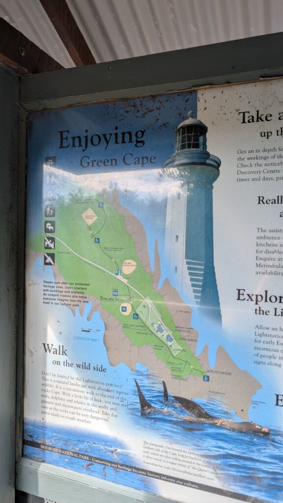
Next Destination: Green Cape Lighthouse
The next day, we were heading to Beowa National Park after breakfast.
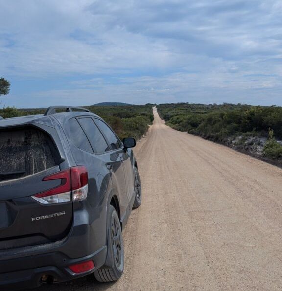
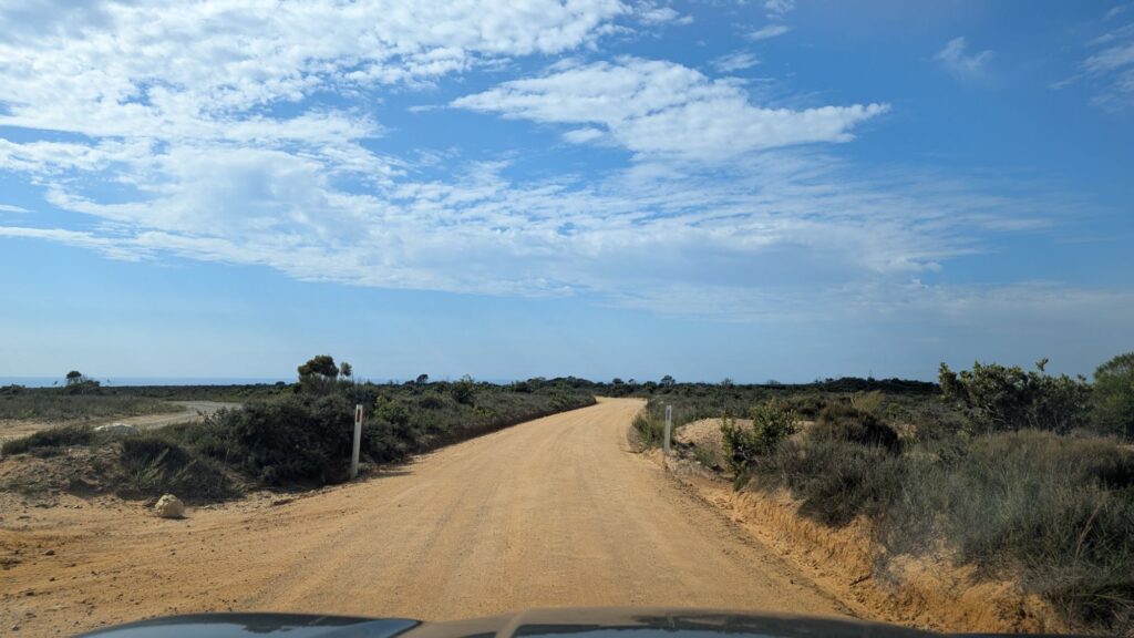
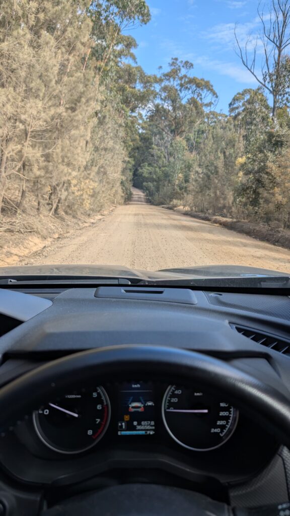
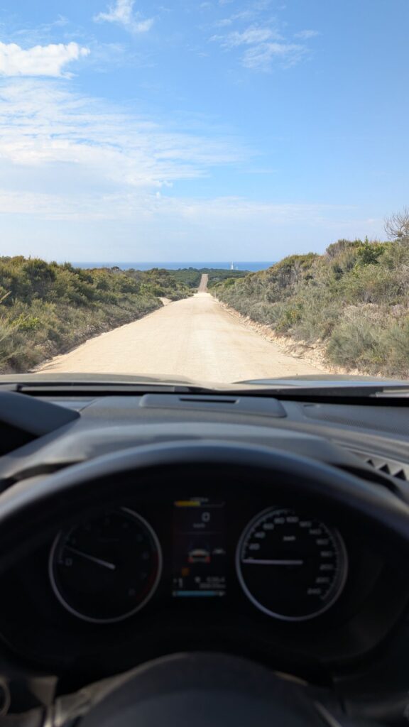
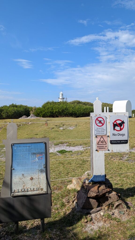
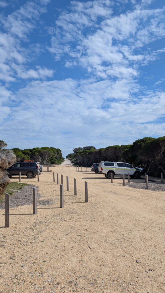
Green Cape Lighthouse road is a 21km unsealed winding dirt road.
Entrance in Edrom Road, NSW.
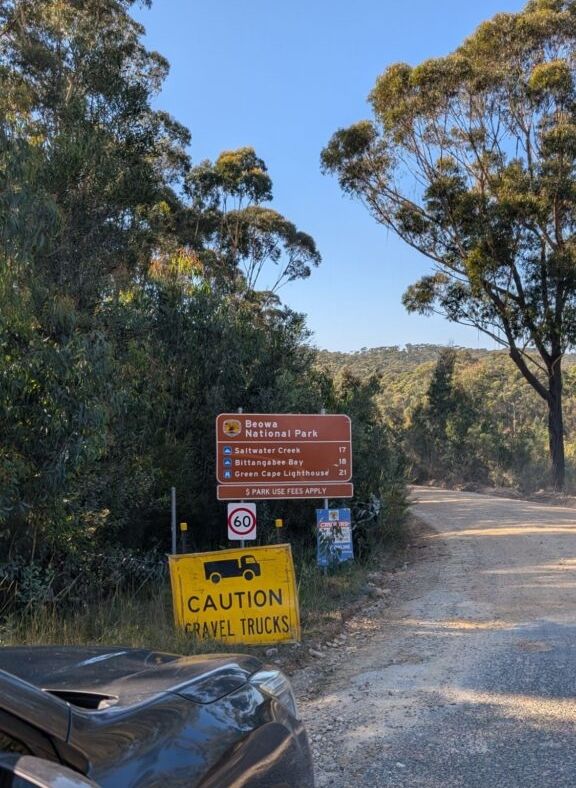
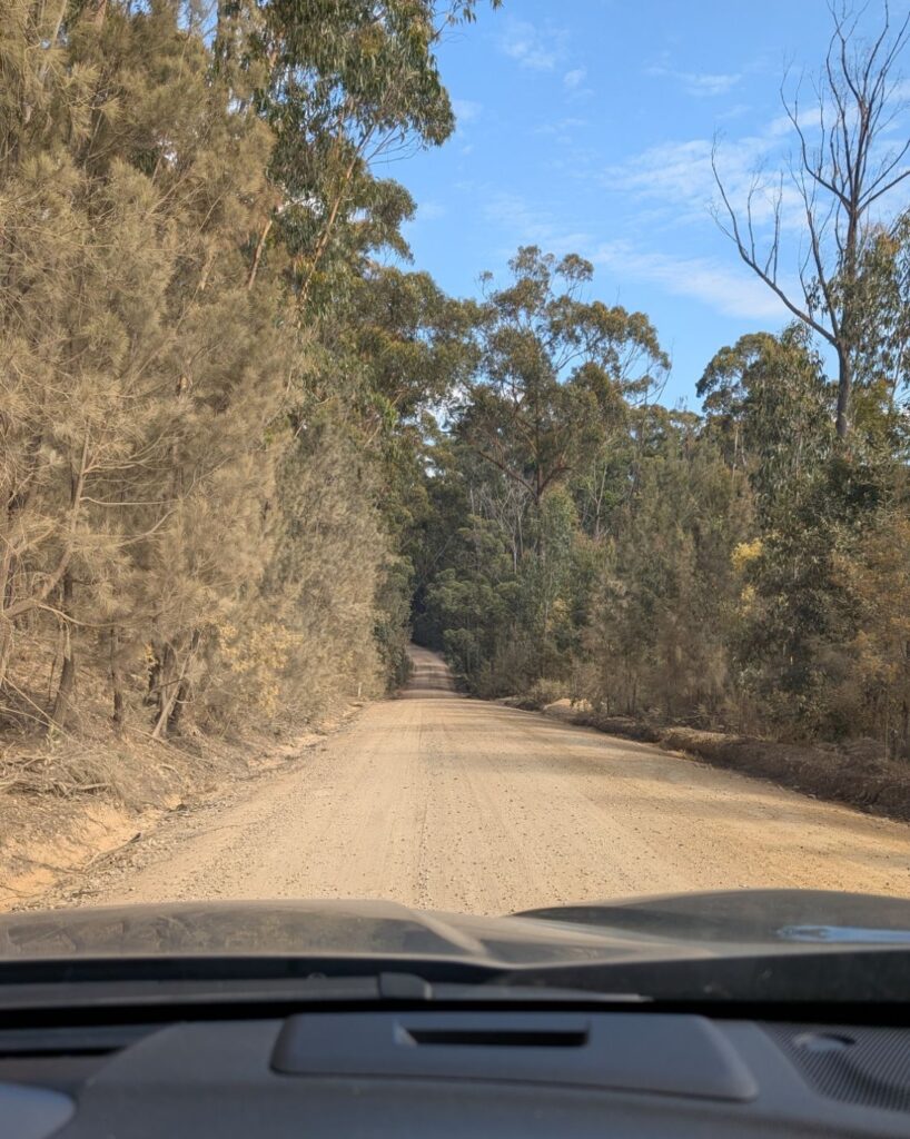
The road was not too bad. Some sections were really bumpy and uneven, a lot of sharp corners and cars from opposite direction.
Road condition can become worse after rain. Fortunately it hasn’t been rain for several days.
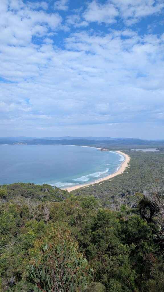
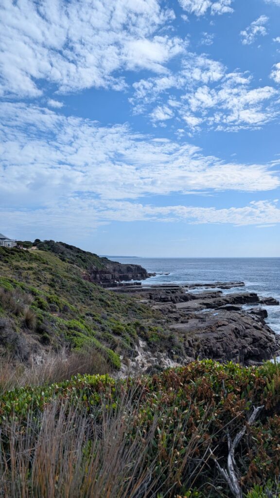
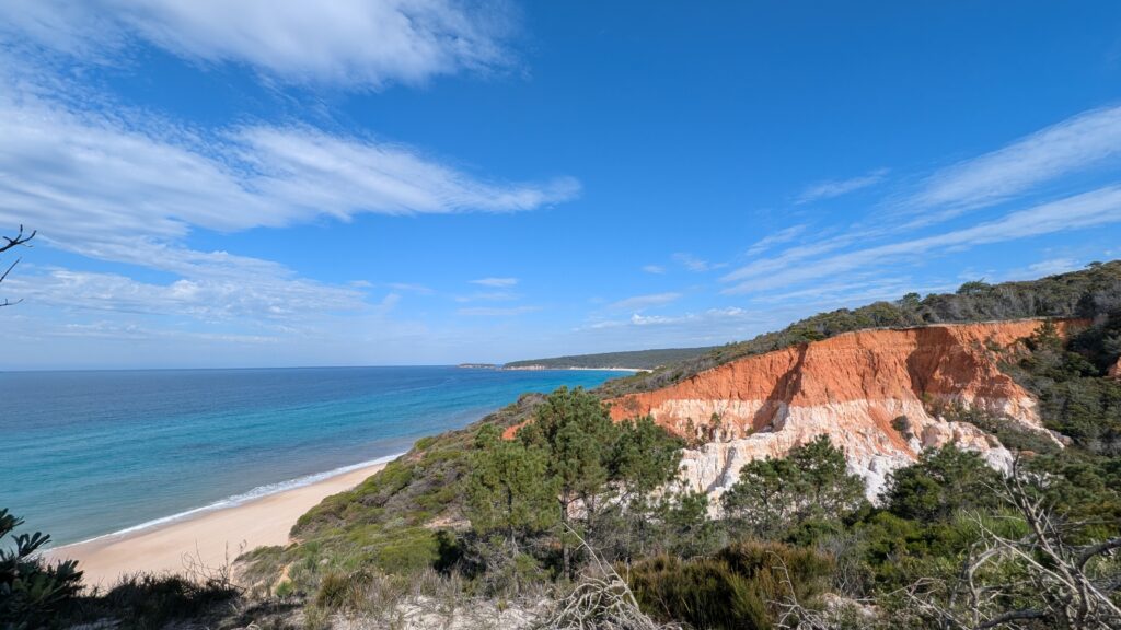
Disaster Bay
Before seeing the lighthouse, we stopped at Disaster bay lookout. The name Disaster bay, obviously, is because it has been a danger area to ships. A wreck inspection report in 1996 by NSW government told some very interesting maritime history around Disaster bay and Eden in the past two hundred years.
The beach is accessible, from tens kilometer of dirt road on the other side of Beowa National park, from a very remote town call Wonboyn. But we were not planning to go there.

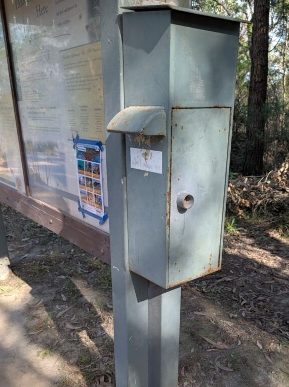
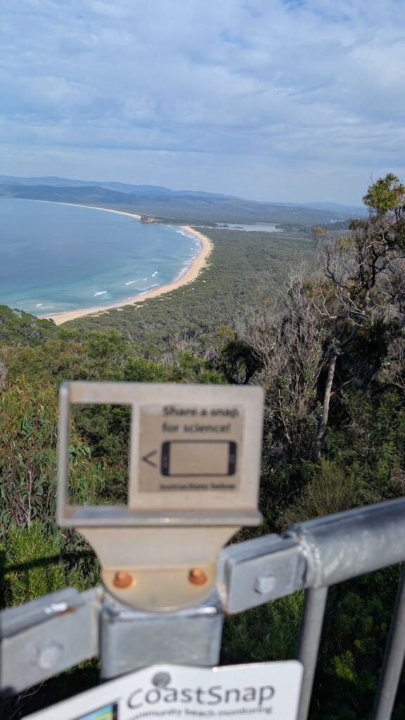
Park entry toll point at the lookout. Very basic : put cash ($8) in an envelope (provided in this box) and put in, that’s it !
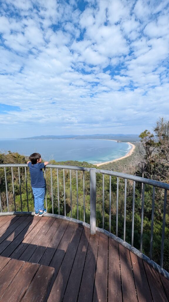
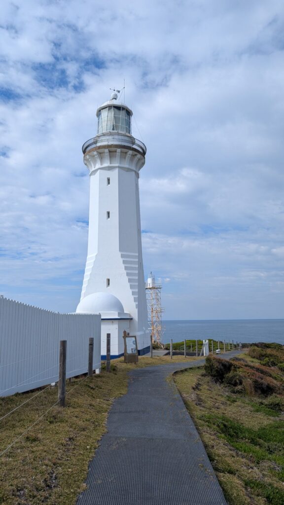
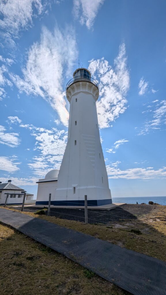
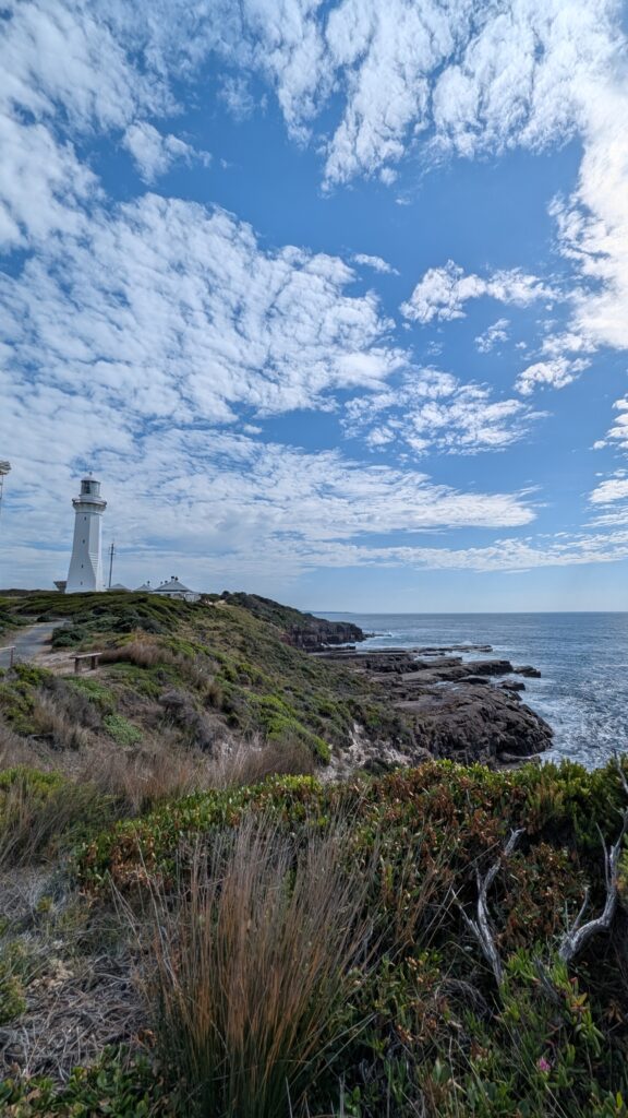
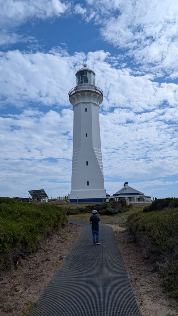
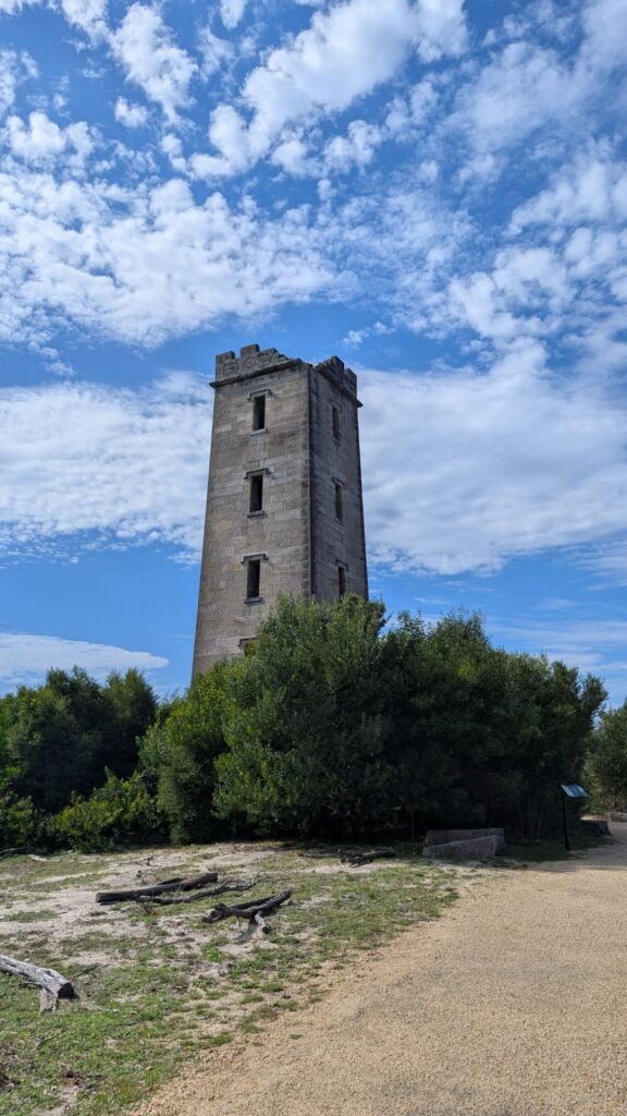
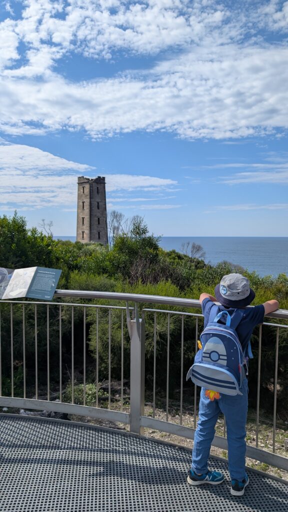
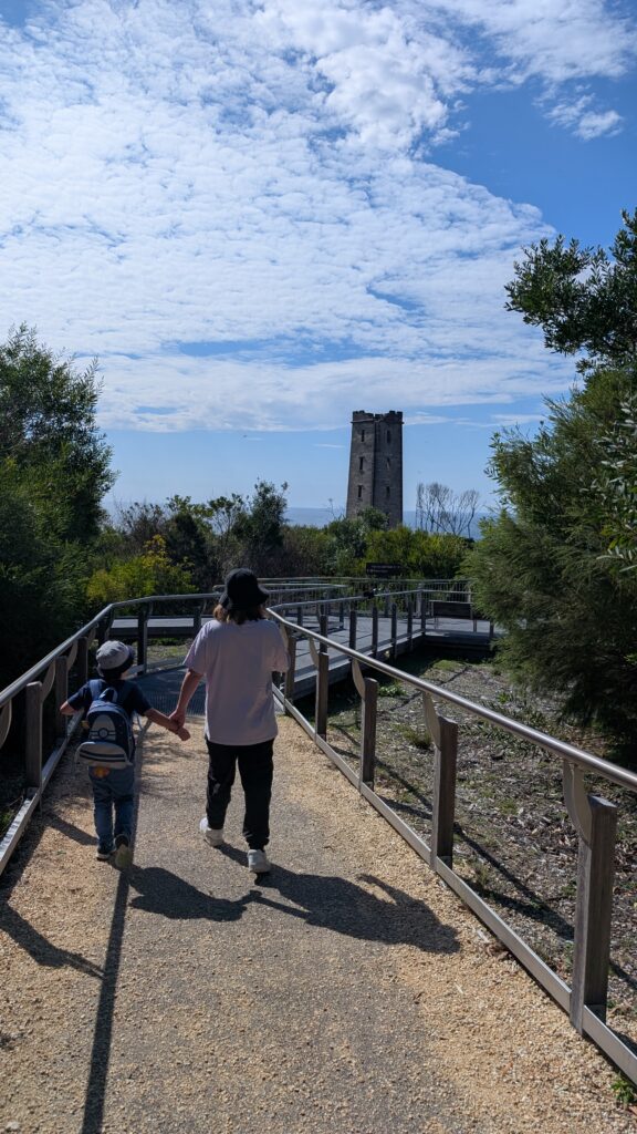
Finally…… Can you see the lighthouse ?
(click to open)
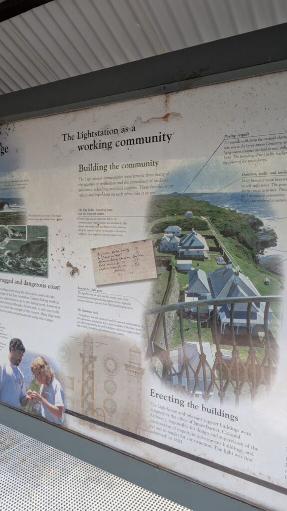
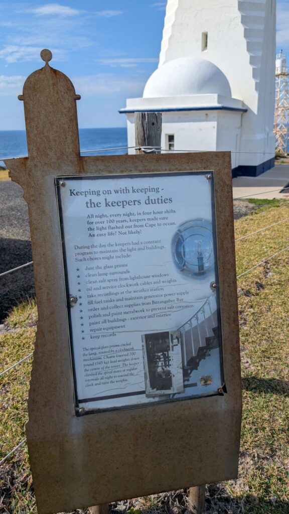
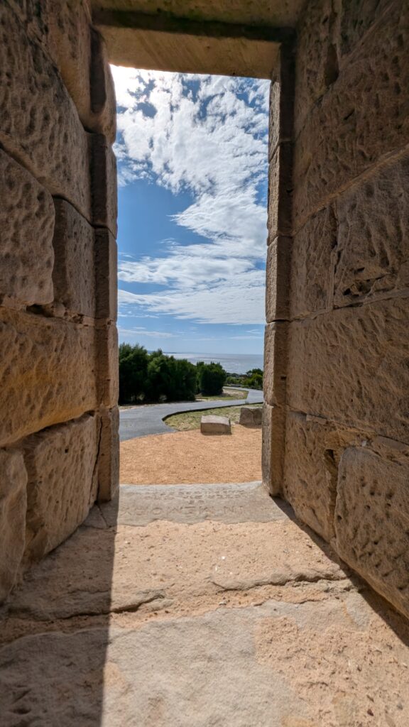
The lighthouse is not just a lighthouse, but a historical place ! A LIVE history book !!
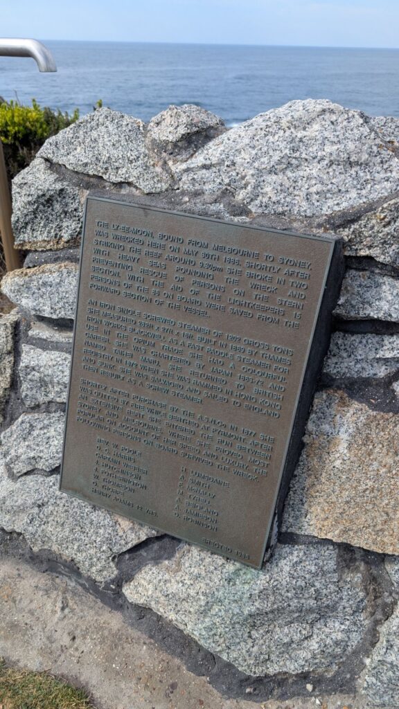
The Ly-ee-moon, bound from Melbourne to Sydney was wrecked here on may 30th 1886. Shortly after striking the reef around 9.30pm she broke in two with heavy seas pounding preventing rescue of persons on the stern section. With the aid of the lightkeepers 15 persons of the 86 on board were saved from the forward section of the vessel..


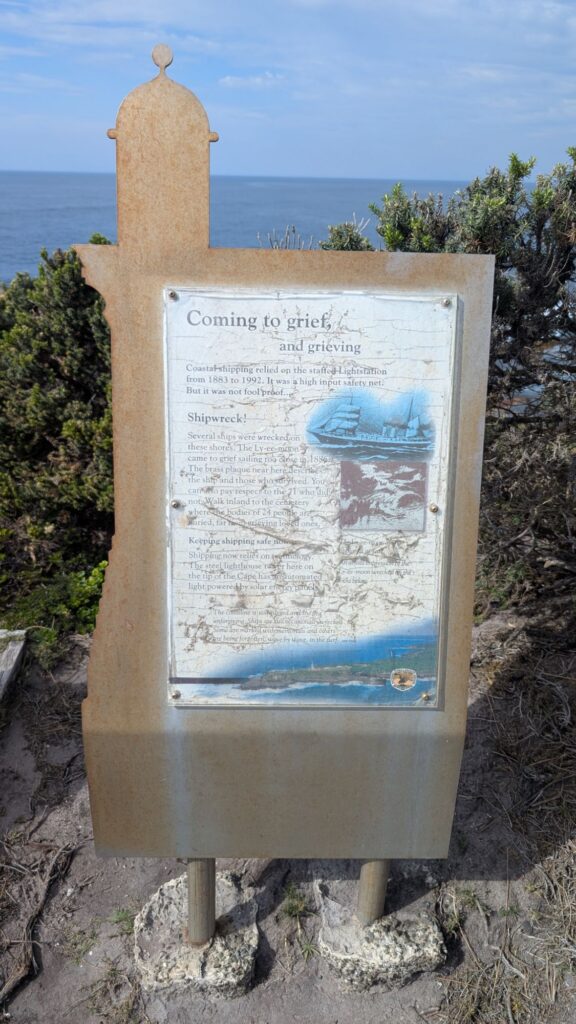
Coming to grief, and grieving
Shipwreck!
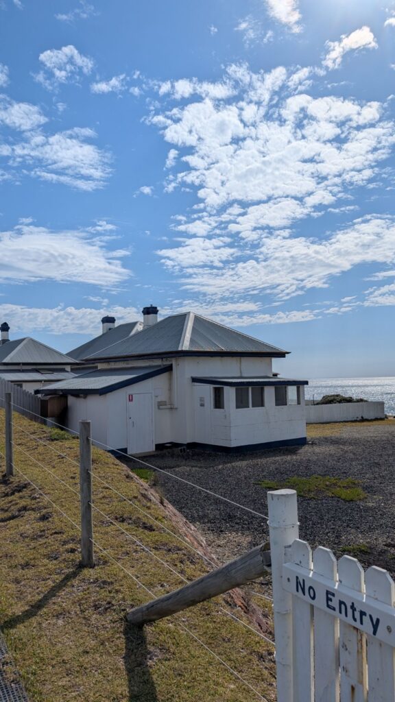
Coastal shipping relied on the staffed Lightstation from 1883 to 1992. It was a high input safety net. But it was not foolproof.
Several ships were wrecked on these shores. The Ly-ee-moon came to grief sailing too close in 1886. The brass plaque near here describes the ship and those who survived. You can also pay respect to the 71 who did not. Walk inland to the cemetery where the bodies of 24 people are buried, far from grieving loved ones.
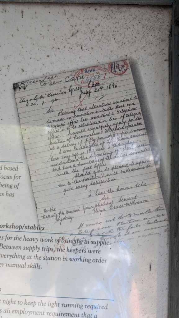
Green Cape
Eliza G. McKinnon Green Cape
20.7.96
July 20th 1896
Sir,
Hearing that alterations are about to be made in connection with the Post and Telegraph Office here and that a Telephone Office is to be established in lieu of a Telegraph Office, I would respectfully apply for the position of Postmistress & Telephone operator at a salary of fifty pounds per annum.
I am a daughter of the present Line Repairer. I am 18 years of age. I thoroughly understand the working of Postal duties and have some knowledge of the duties connected with the Post Office. Should you be pleased to appoint me to the position, I will endeavour to give every satisfaction. I have the honour to be Sir,
Your Obedient Servant,
Eliza Grace McKinnon
To the Deputy P.M. General,
G.P.O. Sydney

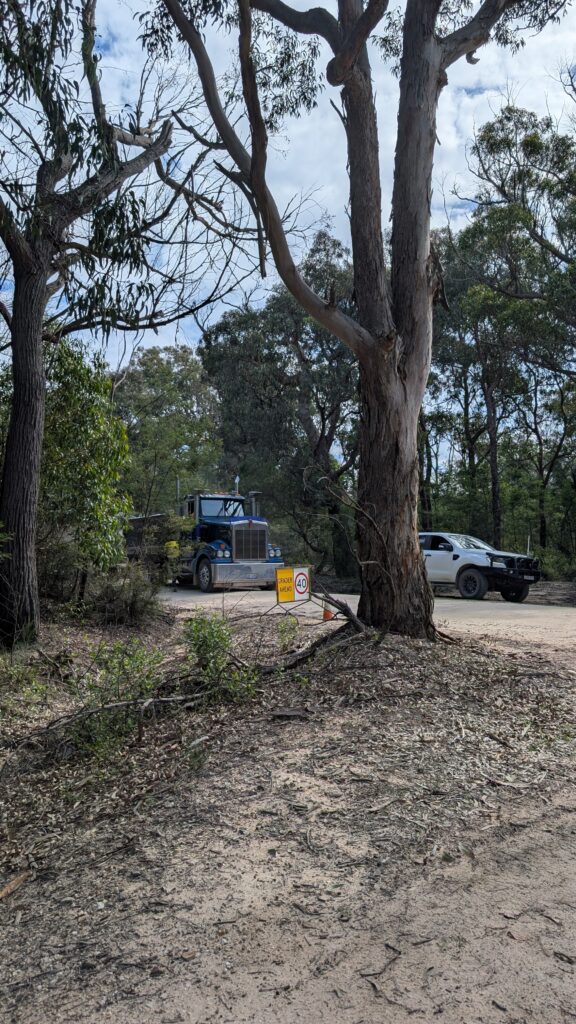
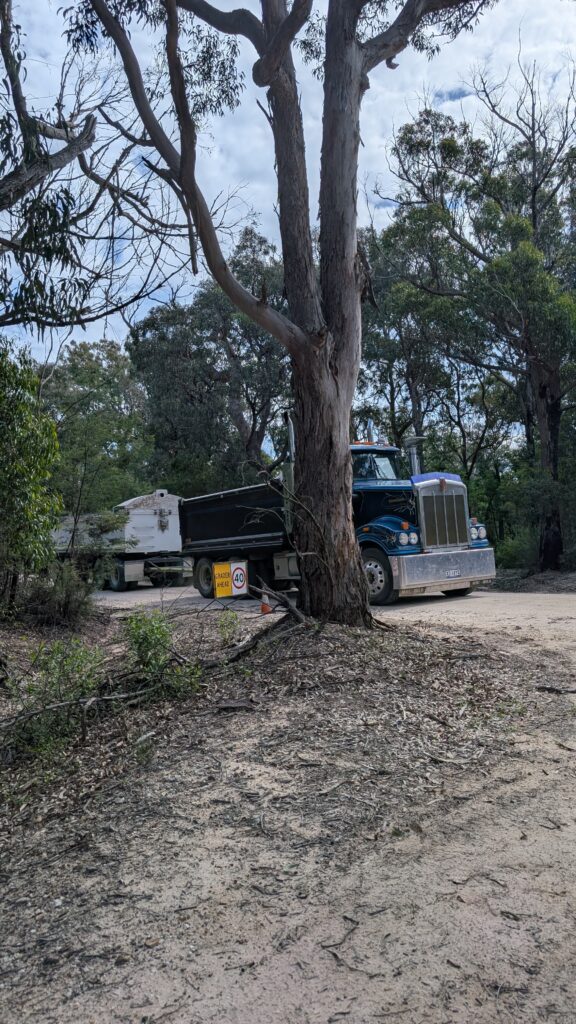
While we were driving back to Edrom Road to Boyd Tower, we were stopped by a worker, who direct traffic in Green Cape Lighthouse road, as there were roadwork and restoration work taking place in Green Cape Lighthouse.
You can see the road is so narrow which is impossible for big truck to go through without stopping opposite direction traffic ahead.
Next Destination, Boyd Tower
Boyd Tower
The Boyd Tower is an other historical place located approx. 30km north of Green Cape Lighthouse.
It was conceived as a lighthouse in 1840s, but had been planned as a whale-watching platform.


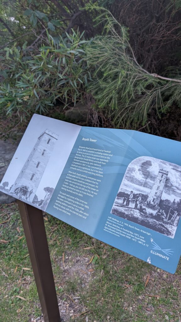
Boyds Tower
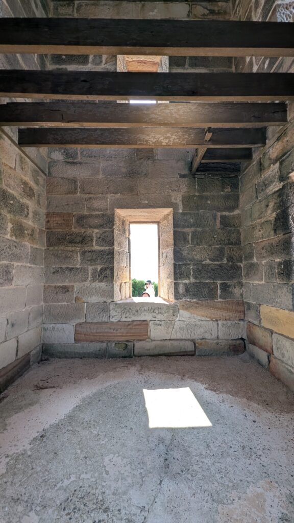
Benjamin Boyd purchased land at Twofold Bay in 1843 to establish a whaling station and to be the access to his pastoral land on the Monaro. The 23 metre tower was reportedly designed by Oswald Brierly and built from Pyrmont sandstone by John Helmrich. Completed in 1847, it was conceived as a lighthouse by Boyd, but had been planned as a whale-watching platform.
When Boyd’s whaling enterprises were at their peak, whalers on lookout here ensured crews could spot and chase migrating whales for food and profit. The marker on top of the tower on lamppost-like post can still be seen as a lookout. You can see the line was taken through the top stone when the marker was removed after his debts.
The south eastern corner of the turret was damaged by lightning in the late 1860s. The platform remained in use as a whale spotting position until the 1920s after which it fell into disuse with the internal stairs and roofing now rotted away.


Geology of the Coastal Cliffs
The spectacular coastline of Beowa National Park consists of sedimentary rock, formed around 360 million years ago. The sediment was deposited by a large river system, gradually compacted and hardened into rock. The folded outcrop before you has been shaped by powerful earth movements, millions of years after its formation.
Elsewhere in the park, unfolded rock layers show their original horizontal position.
Their reddish colour is caused by oxidation (rusting) of iron minerals in the sediments, providing evidence of the global increase in atmospheric oxygen produced by land plants taking hold across the planet.
Take a look of Benjamin Boyd, the owner of Boyd’s tower ‘s biography2 3, very interesting.
Boyd was an entrepreneur, wealth and owned very large area of lands in Monaro (Cooma) in Australia in the 1840s. Boydtown, near Eden where now was abandoned, was named / owned by him.
He was assume killed by the natives during the stop in Solomons in 1851 when he was sailing to San Francisco.
Next Destination: Broadwater
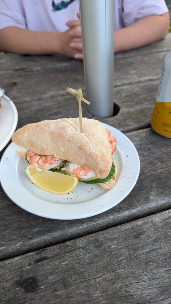

My wife is a oyster lover. We had been tasting the best oyster we ever had when we were in Tasmania in 2020. We never forget how good was the taste, size and price of the fresh oyster in Smithton and Bruny island.
The Oyster in Broadwater was good but never been the same level as in Tassie.
The prawn roll was just ordinary. We could probably made the same or even better from Coles or Woolworths.😒
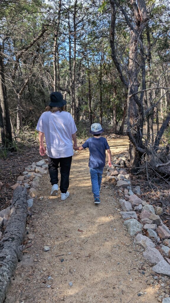
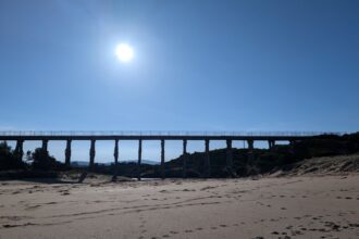
A short walk in Pinnacles loop walking track before we back to Eden.
Easy for the little boy.
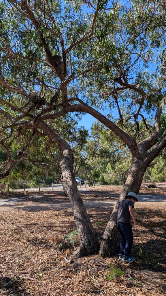
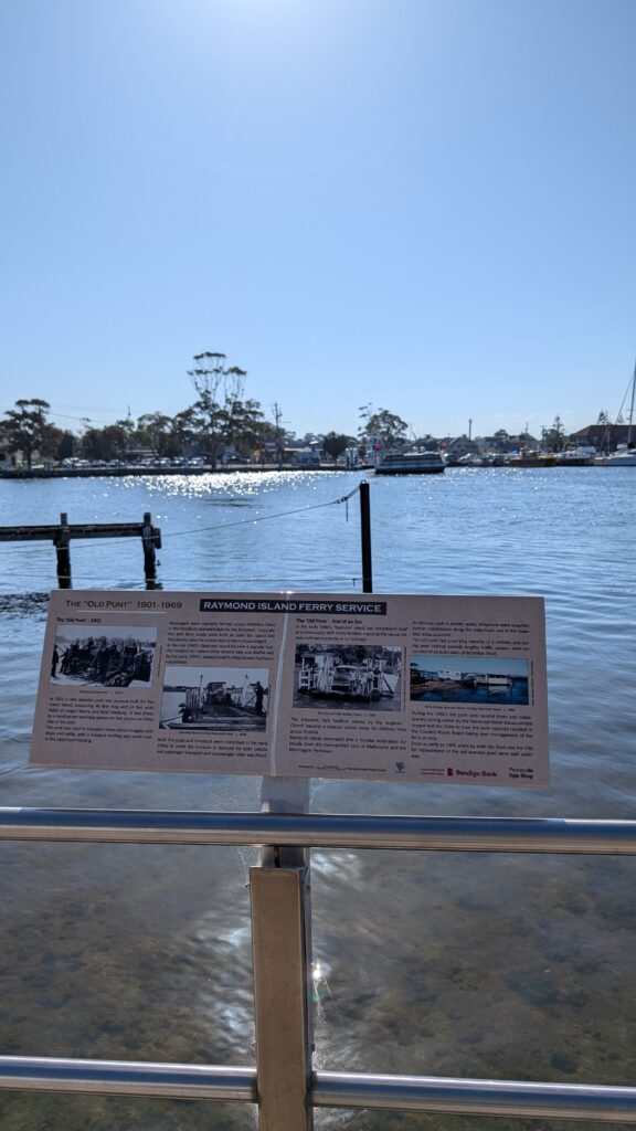
Return Day: Raymond Island
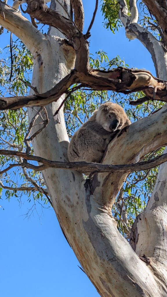
This is the fourth time we went to Raymond Island.
It is just next to Paynesville, 18km south of Bairnsdale, connected by a 3 mins ferry. Free of charge for passengers.
We spotted around 10 koalas on that day.
— The End —